Cristallo and Pomagagnon
Itineraries
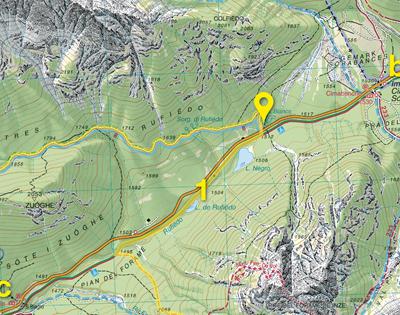
Rufiédo Lakes
Rufiédo Lakes
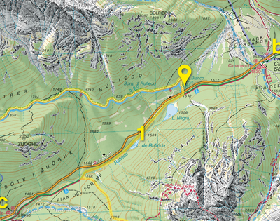
Although these lakes, originated from a post-glacial landslide, lie very close to the state road, they are extraordinarily natural. Because of their recent formation, they have not yet developed a perilacustral vegetation belt, yet, their spectacular landscape is worth a visit and can be reached with a slight detour from the former railway path.
Length: 1.200 m.Vertical gain: 50 m.
Time required: 1 ore
×
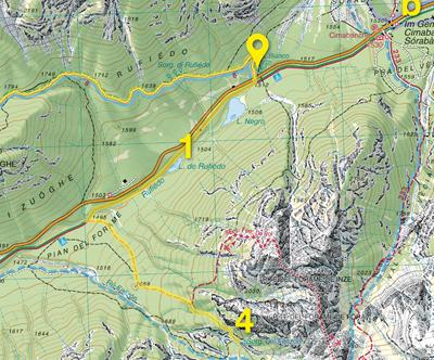
Felizon Springs
Felizon Springs
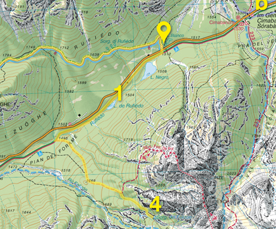
Felizon springs are of Karstic origin, like those of Rufiédo, and originate from a powerful jet gushing through the rock. The melting waters of the Cresta Bianca snowfield, which once flowed down Val Pra del Vecia towards the Rienza river, were “captured” by the Felizon and, flowing underground, have diverted towards the Forame gorge. The path leading to Punte del Forame is a convenient, though not easy, approach to this site of rare wild beauty.
Length: 4.000 m.Vertical gain: 400 m.
Time required: 3 ore
×
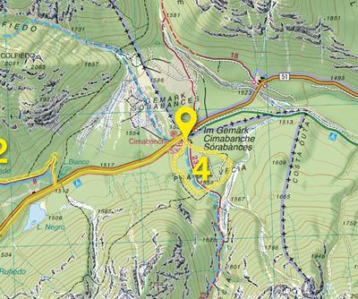
Val Pra del Vecia
Val Pra del Vecia
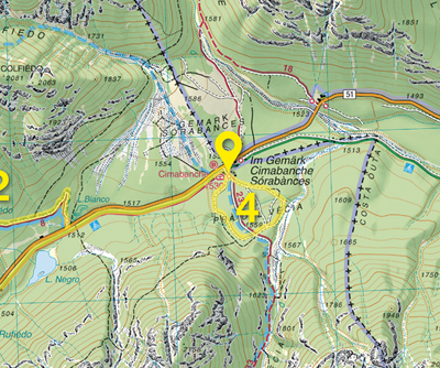
The plain where Cimabanche pass stands originated from two opposite alluvial fans, from Mt Cristallo and Croda Rossa, converging at the bottom of the valley. A thin Scots pine forest, rich in orchids, has colonized the detrital sediments of the plain. A short, easy loop hike leads to Val Pra del Vecia, still a tributary of the Rienza.
Length: 1.000 m.Vertical gain: 40 m.
Time required: 1 ore
×
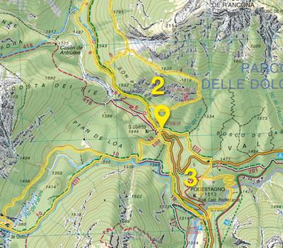
The Fortress of Podestagno
The Fortress of Podestagno
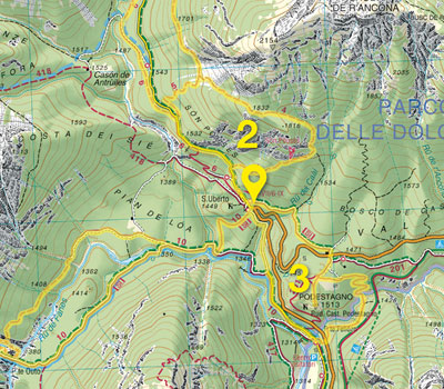
Like Son Pòuses, the cliff of Podestagno enjoys a favourable position to control the communication routes between the Boite, Felizon, and Fanes valley. However, its settlement is much older, in fact archaeological surveys have documented a pre-Roman occupation of this site where different rulers followed one another and preserved a castle intended to control and defend the Ampezzo Valley. The access route follows part of the old Strada di Alemagna which climbs up its steep flanks.
Length: 3.000 m.Vertical gain: 180 m.
Time required: 1,5 ore
×
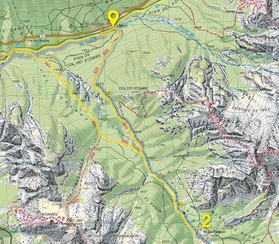
Val Padeon
Val Padeon
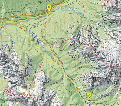
In the past, Val Padeon was suspended above the Felizon valley and tributary of the Rienza. Then, in the post-glacial Age it was “captured” by the Boite, together with the Felizon and the Rio Bosco carved the basal rocks forming a deep gorge. It is one of the innermost Ampezzo valleys and it is covered by a well preserved forest of stone pines and larch trees, the home for several species of Galliformes, woodpeckers, and nocturnal birds of prey.
Length: 7.600 m.Vertical gain: 430 m.
Time required: 3 ore
×
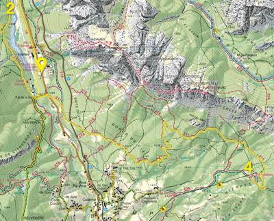
Mietres
Mietres
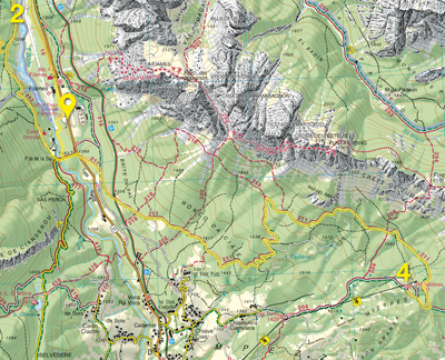
Sparse, bright forests of Scotch pines and larches cover the sunny slopes at the base of Mt. Pomagagnon. The Mietres area is where hay meadows were found at higher altitudes in the valley before being abandoned and conquered by woods. The area is still open today, with panoramic views and rich in all the flora and fauna that prefer wood edges and marginal environments.
Length: 4.000 m.Vertical gain: 450 m.
Time required: 3 ore
×
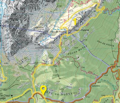
High Val Popena
High Val Popena
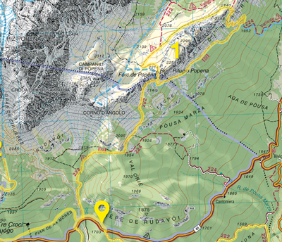
As all the valleys on Mt Cristallo northern slope, this typical glacial valley is characterized by deep fractures in highly friable rock resulting in debris flow during summer storms. The spires and towers of Mt. Popéna, with their varied and spectacular shapes, are one of the geomorphological peculiarities of the valley.
Length: 7.000 m.Vertical gain: 660 m.
Time required: 3,5 ore
×
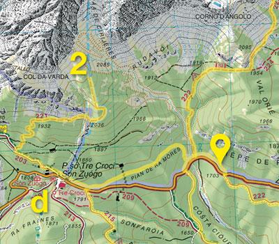
Col de Varda (Observation hill)
Col de Varda (Observation hill)
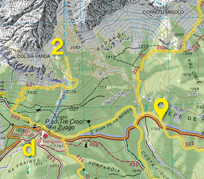
As its place-name tells, this hill was once used as observation point and it is today considered an excellent viewpoint. A pleasant war trail ascends its southern flanks; in the past it continued as far as Passo del Cristallo, but today it ends by the hill, whose prairies offer a 180-degree panorama over Cortina 's bowl and Val d'Ansiei as far as Misurina. It is also a privileged spot to observe the golden eagle and chamois.
Length: 2.100 m.Vertical gain: 550 m.
Time required: 2,5 ore
×
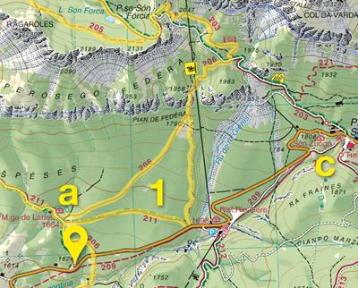
The forest of Lariéto
The forest of Lariéto
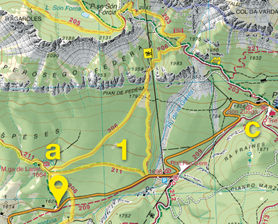
Perhaps one of the most frequently photographed larch forests of the Alps for the perfect regularity of the tree trunks of pure larch and the cleanness of its floor. The evolution of this forest of spectacular beauty has been maintained in its current condition through continuous, constant cattle grazing of the undergrowth. Its natural destiny is to be replaced in time by a mixed forest of fir trees and stone pines, which only man's perpetual intervention may slow down.
Length: 3.600 m.Vertical gain: 180 m.
Time required: 2 ore
×
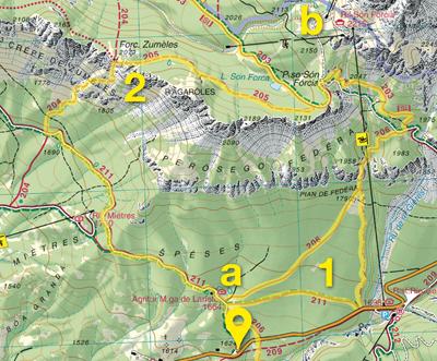
Pàles de Zumelès
Pàles de Zumelès
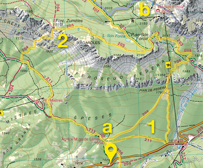
The sunny slopes that encircle the Ampezzo valley floor to the north-east are characterized by steep meadows - called “pales” that used to be mowed - alternated with rocky banks. Very rich in flora, they are suitable wintering areas for several animal species and breeding site for the rare and vulnerable rock partridge (Alectoris graeca). The Pàles are highly panoramic and can be reached by a steep and safe trail.
Length: 7.900 m.Vertical gain: 520 m.
Time required: 4 ore
×
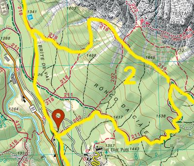
Brujà del Pomaganon
Brujà del Pomaganon
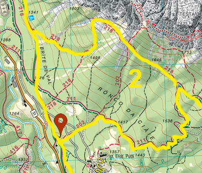
The south side of Pomagagnon, sheltered from north winds and facing the Ampezzo bowl to the south, is one of the warmest slopes in the valley. The base, favoured wintering habitat for many species that here can find shelter, is covered with a sparse pine forest, with an undergrowth of heathers rich in orchids. Vast mountain-pine forests cloak the debris flows from the overhanging friable walls. This area is particularly suitable for mid-season walks.
Length: 5.500 m.Vertical gain: 380 m.
Time required: 3 ore
×